Agriculture
With modernization, AR/VR and MR services can help in training farmers on how to do field check their crops, understand their growth and take necessary steps.
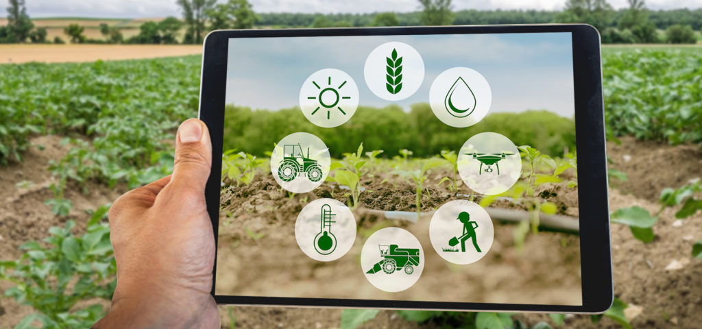


In agriculture, augmented reality plays a transformative role in the field – check and pest/insect detection process. It also identifies the soil qualities and crop to be planted on a certain plot of land. By just glancing at the application, AR aids in the comprehension of pest and agricultural conditions.
Farming is a complicated activity since it necessitates the use of various instruments and technology. Farmers will benefit from AR training since it will allow them to provide engaging and safe instruction. Using a tablet or smartphone to operate agricultural equipment is now conceivable! As a result, farmers can now gather and exchange information about machinery, crops, and livestock in the most efficient way imaginable.
Enhanced pest recognition and soil quality identification. Real-time visualisation of crops and their surroundings will enable faster detection of insects and pest control suggestions, as well as assessments of land quality that will lead to improved judgments regarding amendments or land use/crop compatibility.
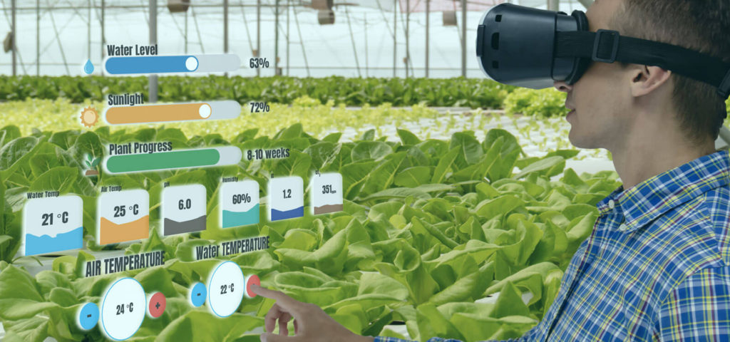
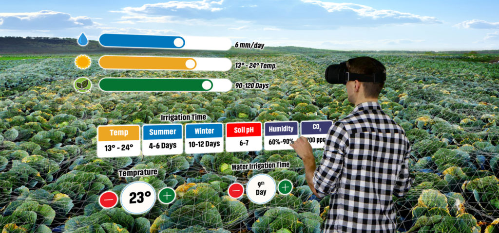
Farmers will be able to better comprehend and master innovative agricultural land management practices thanks to virtual technologies that are being utilized to promote agricultural science and technology. Making active learning more natural and realistic, considerably improves the efficacy of instruction and their educational interest.
We can turn fields into virtual settings using 3D mapping technologies. Farmers may use this information to construct various crop cultivation scenarios, as well as assist with remote equipment monitoring and control. We’re simply scratching the surface of the possibilities of adding digital data atop our physical landscapes. Assume you’re a farmer, and let your mind run wild with the possibilities.